
Restren:Bridge near Badgall - geograph.org.uk - 721273.jpg
Nyns eus klerder ughella kavadow.
Bridge_near_Badgall_-_geograph.org.uk_-_721273.jpg (640 × 480 piksel, myns an restren: 146 KB, eghen MIME: image/jpeg)
| Restren dhyworth Wikimedia Commons yw hebma. Yma diskwedhys a-woles derivadow dhyworth y folen deskrifans ena. | Mos dhe folen an restren war Wikimedia Commons |
Berrskrif
| Deskrifans | |
| Dedhyans | |
| Pennfenten | From geograph.org.uk |
| Awtour | Derek Harper |
| Askrifans (required by the license) | Derek Harper / Bridge near Badgall / |
| Camera location | | View this and other nearby images on: OpenStreetMap |
|---|
_heading:67.00&language=kw)
| Object location | | View this and other nearby images on: OpenStreetMap |
|---|
_heading:67.00&language=kw)
Leshyans

|
This image was taken from the Geograph project collection. See this photograph's page on the Geograph website for the photographer's contact details. The copyright on this image is owned by Derek Harper and is licensed for reuse under the Creative Commons Attribution-ShareAlike 2.0 license.
|
This file is licensed under the Creative Commons Attribution-Share Alike 2.0 Generic license.
Askrifans: Derek Harper
- Yma'n gwir dhywgh:
- a ranna – a dhasskrifa, lesranna ha treuskorra an ober
- a gemyska – a aswiwa an ober
- Yn-dann an ragselyow a syw:
- askrifans – Res yw dhywgh ri askrifans gwiw, provia kevren dhe'n lecyans, ha meneges mar peu chanjyow gwrys. Hwi a yll gul hemma yn fordh resonus a vynnowgh, mes ny yllir y wul yn fordh a broffo synser an lecyans dh'agas skoodhya po agas devnydh.
- ranna kehaval – Mar kwrewgh hwi chanjya, treusfurvya po drehevel war an ober ma, res yw dhywgh lesranna agas kevrohow yn-dann an keth lecyans hag an derowel, po lecyans kesplegadow.
- Remove redundant categories and try to put this image in the most specific category/categories
- Remove this template
- The location categories are based on information from this geonames tool and this OpenStreetMap tool combined with a database. You can also have a look at this tool from mysociety.
- The topic category from Geograph was Bridge (find similar images at Geograph)
Istori an restren
Klyckyewgh war dhedhyans/eur rag gweles an folen dell o an termyn na.
| Dedhyans/Eur | Skeusennik | Mynsow | Devnydhyer | Kampol | |
|---|---|---|---|---|---|
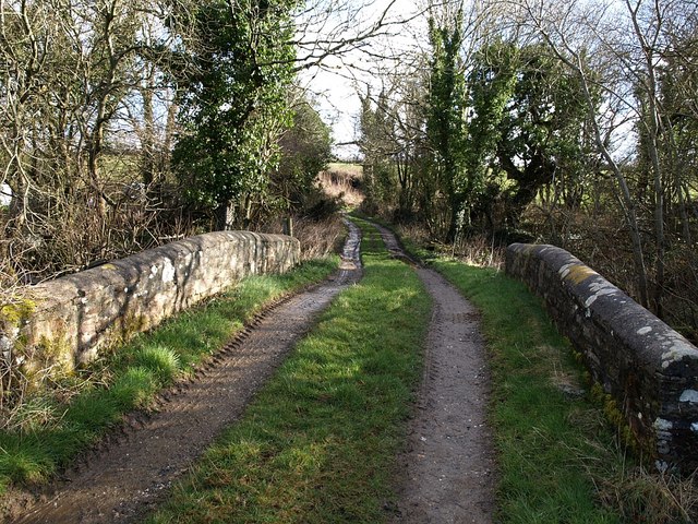
| a-lemmyn | 04:10, 19 Hwevrer 2011 | | 640 × 480 (146 KB) | GeographBot | == {{int:filedesc}} == {{Information |description={{en|1=Bridge near Badgall A closer view of the bridge shown in 719900 and 714016. The track climbs towards Badgall.}} |date=2008-03-04 |source=From [http://www.geograph.org.uk/photo/721273 geograp |
Devnydh an restren
Yma an 2 folen a syw owth usya an restren ma: