
Restren:Africa location map without rivers.svg

Size of this PNG preview of this SVG file: 635 × 600 piksel. Klerderyow erel: 254 × 240 piksel | 508 × 480 piksel | 813 × 768 piksel | 1,084 × 1,024 piksel | 2,169 × 2,048 piksel | 1,525 × 1,440 piksel.
Restren wreydhek (Restren SVG, 1,525 × 1,440 piksel yn hanow, myns an restren: 529 KB)
| Restren dhyworth Wikimedia Commons yw hebma. Yma diskwedhys a-woles derivadow dhyworth y folen deskrifans ena. | Mos dhe folen an restren war Wikimedia Commons |
Berrskrif
| Deskrifans |
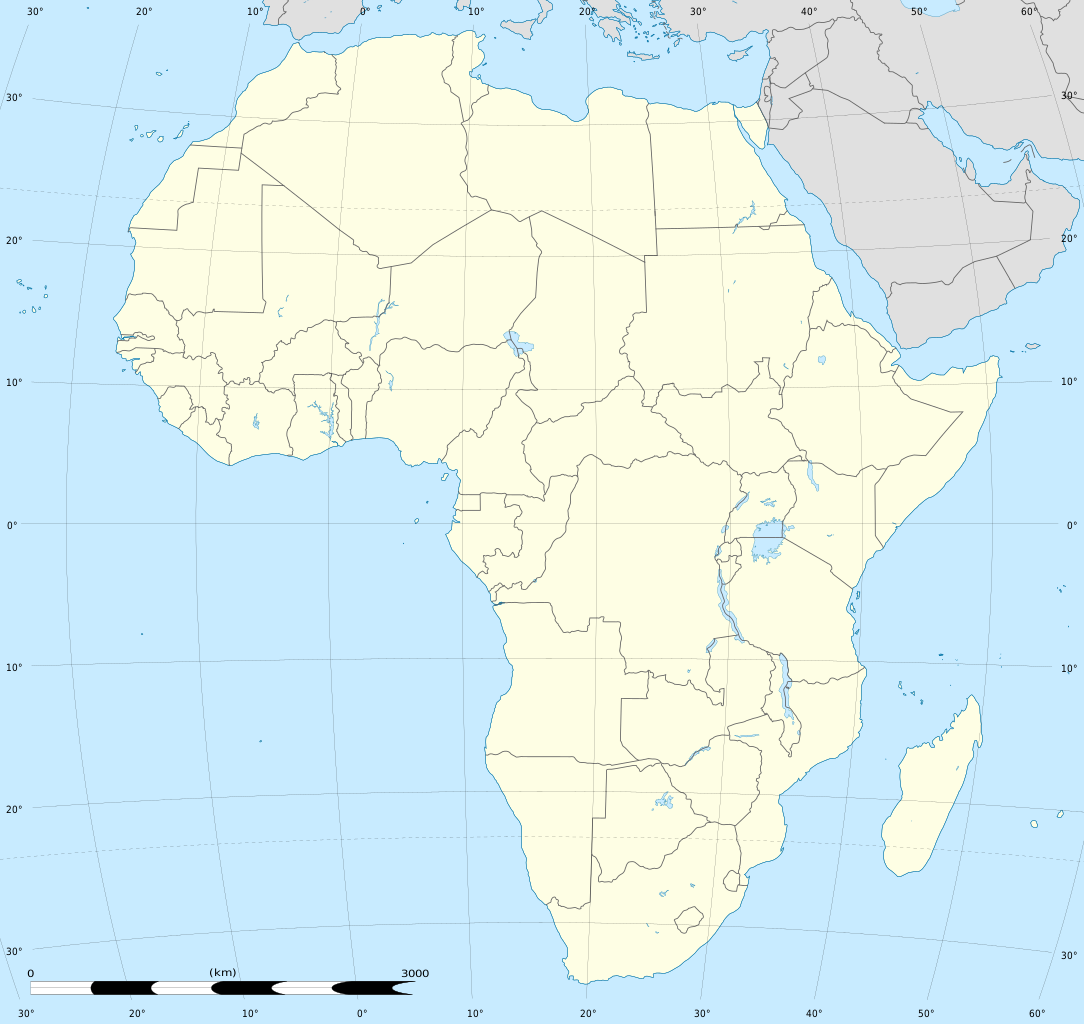
English: Blank administrative map of political Africa as in 2011-07, for geo-location purposes.
Français : Carte administrative vierge de l'Afrique politique telle qu'en 07/2011, destinée à la géolocalisation. Lambert azimutal equal-area projection, WGS84 datum
|
||
| Dedhyans | 2010-07, updated 2011-07 | ||
| Pennfenten |
Based upon File:Africa_map_blank.svg created by myself
|
||
| Awtour | Eric Gaba (Sting - fr:Sting) | ||
| Kummyas (Dastevnydhya an restren ma) |
|
||
| Other versions |
|


| Camera location | | View this and other nearby images on: OpenStreetMap |
|---|
Leshyans
Eric Gaba, Wikimedia Commons user Sting, the copyright holder of this work, hereby publishes it under the following licenses:

|
Permission is granted to copy, distribute and/or modify this document under the terms of the GNU Free Documentation License, Version 1.2 or any later version published by the Free Software Foundation; with no Invariant Sections, no Front-Cover Texts, and no Back-Cover Texts. A copy of the license is included in the section entitled GNU Free Documentation License. |
Yma an restren ma yn-dann an leshyans Creative Commons Attribution-Share Alike 3.0 Unported.
Askrifans: Eric Gaba, Wikimedia Commons user Sting
- Yma'n gwir dhywgh:
- a ranna – a dhasskrifa, lesranna ha treuskorra an ober
- a gemyska – a aswiwa an ober
- Yn-dann an ragselyow a syw:
- askrifans – Res yw dhywgh ri askrifans gwiw, provia kevren dhe'n lecyans, ha meneges mar peu chanjyow gwrys. Hwi a yll gul hemma yn fordh resonus a vynnowgh, mes ny yllir y wul yn fordh a broffo synser an lecyans dh'agas skoodhya po agas devnydh.
- ranna kehaval – Mar kwrewgh hwi chanjya, treusfurvya po drehevel war an ober ma, res yw dhywgh lesranna agas kevrohow yn-dann an keth lecyans hag an derowel, po lecyans kesplegadow.
You may select the license of your choice.
Istori an restren
Klyckyewgh war dhedhyans/eur rag gweles an folen dell o an termyn na.
| Dedhyans/Eur | Skeusennik | Mynsow | Devnydhyer | Kampol | |
|---|---|---|---|---|---|
| a-lemmyn | 19:20, 14 Gortheren 2011 | | 1,525 × 1,440 (529 KB) | Sting | Sudan/South Sudan 2011-07 border update |
| 20:13, 2 Gortheren 2010 |  | 1,525 × 1,440 (351 KB) | Sting | == {{int:filedesc}} == {{Location|00|00|00|N|15|00|00|E|scale:30000000}} <br/>{{Information |Description={{en|Blank administrative map of political Africa, for geo-location purposes.}} {{fr|Carte administrative vierge de l'[[:fr:Afrique|Afr |
Devnydh an restren
Nyns eus folen vyth owth usya an restren ma.
Devnydh ollvysel an restren
Yma an wikis erel a syw ow tevnydhya an restren ma:
- Devnydh war als.wikipedia.org
- Devnydh war ar.wikipedia.org
- Devnydh war bg.wikipedia.org
- Devnydh war de.wikipedia.org
- Devnydh war en.wikipedia.org
- 2015 CAF Champions League
- 2015 CAF Confederation Cup
- 2016 CAF Champions League
- 2016 CAF Confederation Cup
- 2017 CAF Champions League
- 2017 CAF Confederation Cup
- 2018 CAF Champions League
- 2018 CAF Confederation Cup
- 2018–19 CAF Champions League
- 2018–19 CAF Confederation Cup
- 2019–20 CAF Confederation Cup
- 2019–20 CAF Champions League
- 2020–21 CAF Champions League
- Basketball Africa League
- 2024 BAL season
- 2024 BAL qualification
- Devnydh war es.wikipedia.org
- Devnydh war frr.wikipedia.org
- Devnydh war fr.wikipedia.org
- Devnydh war ko.wikipedia.org
- Devnydh war pt.wikipedia.org
- Devnydh war uk.wikipedia.org