
Restren:Map of Virginia highlighting Clarke County.svg

Size of this PNG preview of this SVG file: 800 × 347 piksel. Klerderyow erel: 320 × 139 piksel | 640 × 278 piksel | 1,024 × 444 piksel | 1,280 × 555 piksel | 2,560 × 1,110 piksel | 7,486 × 3,247 piksel.
Restren wreydhek (Restren SVG, 7,486 × 3,247 piksel yn hanow, myns an restren: 223 KB)
| Restren dhyworth Wikimedia Commons yw hebma. Yma diskwedhys a-woles derivadow dhyworth y folen deskrifans ena. | Mos dhe folen an restren war Wikimedia Commons |
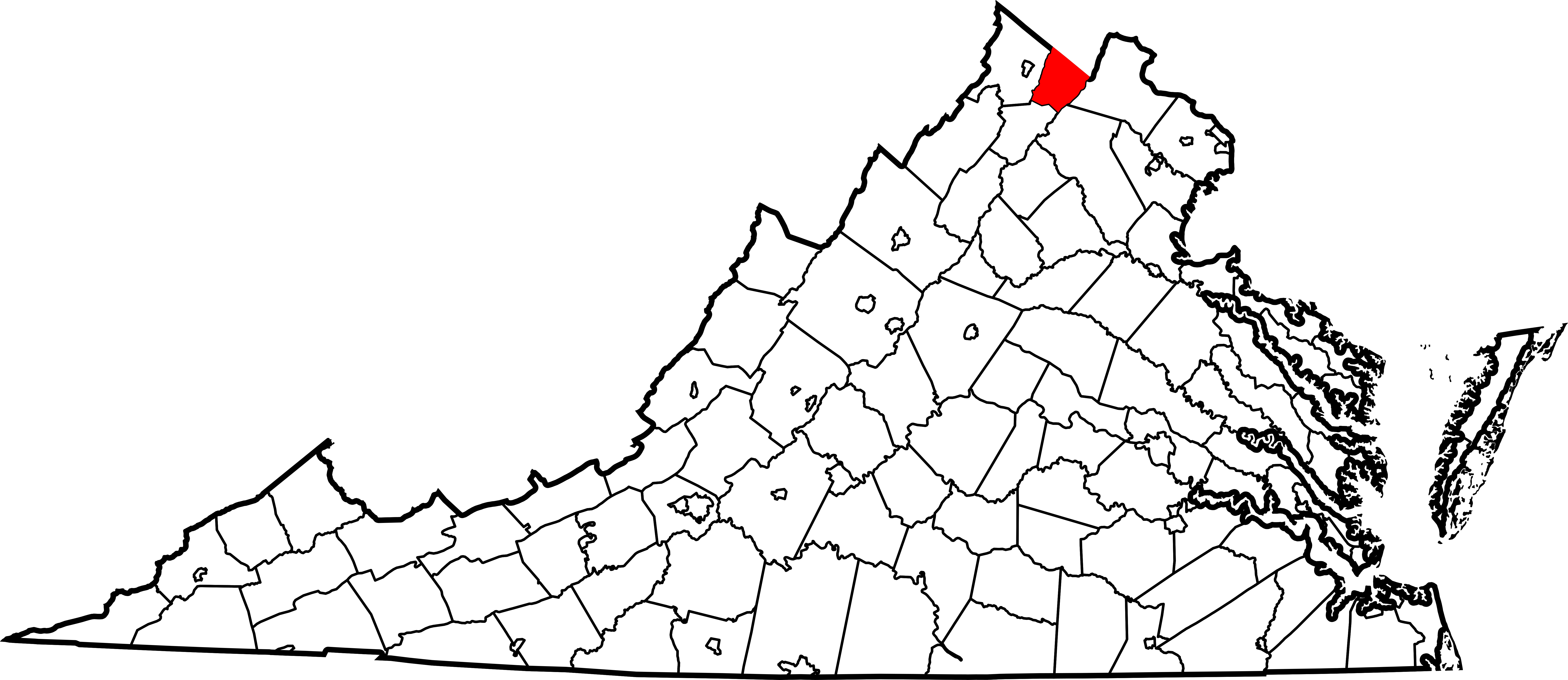
This is a locator map showing Clarke County in Virginia.
This W3C-invalid map was created with unknown tool.
David Benbennick made this map. For more information, see Commons:United States county locator maps.
| I, the copyright holder of this work, release this work into the public domain. This applies worldwide. In some countries this may not be legally possible; if so: I grant anyone the right to use this work for any purpose, without any conditions, unless such conditions are required by law. |
Istori an restren
Klyckyewgh war dhedhyans/eur rag gweles an folen dell o an termyn na.
| Dedhyans/Eur | Skeusennik | Mynsow | Devnydhyer | Kampol | |
|---|---|---|---|---|---|
| a-lemmyn | 17:41, 12 Hwevrer 2006 | | 7,486 × 3,247 (223 KB) | David Benbennick | {{subst:User:Dbenbenn/clm|county=Clarke County|state=Virginia|type=county}} |
Devnydh an restren
Yma an folen a syw owth usya an restren ma:
Devnydh ollvysel an restren
Yma an wikis erel a syw ow tevnydhya an restren ma:
- Devnydh war ar.wikipedia.org
- Devnydh war azb.wikipedia.org
- Devnydh war bg.wikipedia.org
- Devnydh war bpy.wikipedia.org
- Devnydh war cdo.wikipedia.org
- Devnydh war ceb.wikipedia.org
- Devnydh war ce.wikipedia.org
- Devnydh war cy.wikipedia.org
- Devnydh war de.wikipedia.org
- Devnydh war en.wikipedia.org
- List of cities and counties in Virginia
- Clarke County, Virginia
- Berryville, Virginia
- Boyce, Virginia
- Category:Clarke County, Virginia
- Millwood, Virginia
- Berrys, Virginia
- Bethel, Clarke County, Virginia
- Briggs, Virginia
- Castlemans Ferry, Virginia
- Claytonville, Virginia
- Double Tollgate, Virginia
- Frogtown, Clarke County, Virginia
- Gaylord, Virginia
- Greenway Court, Virginia
- Lewisville, Virginia
- Lockes Landing, Virginia
- White Post, Virginia
- Pigeon Hill, Clarke County, Virginia
- Pyletown, Virginia
- Orland E. White Research Arboretum
- Saratoga, Clarke County, Virginia
- Template:Clarke County, Virginia
- Stone Bridge, Virginia
- Stringtown, Clarke County, Virginia
- Swimley, Virginia
- Wadesville, Virginia
- Waterloo, Clarke County, Virginia
- Webbtown, Virginia
- Wickliffe, Virginia
- Template:ClarkeCountyVA-geo-stub
- National Register of Historic Places listings in Clarke County, Virginia
- User:Nyttend/County templates/VA/1
- User:LBourne/Scratch pad
- Category:Populated places in Clarke County, Virginia
- Shenandoah Farms, Virginia
- Shenandoah Retreat, Virginia
Gweles devnydh ollvysel moy a'n restren ma.