
Restren:Map of West Virginia highlighting Grant County.svg

Size of this PNG preview of this SVG file: 672 × 600 piksel. Klerderyow erel: 269 × 240 piksel | 538 × 480 piksel | 861 × 768 piksel | 1,148 × 1,024 piksel | 2,295 × 2,048 piksel | 4,270 × 3,810 piksel.
Restren wreydhek (Restren SVG, 4,270 × 3,810 piksel yn hanow, myns an restren: 110 KB)
| Restren dhyworth Wikimedia Commons yw hebma. Yma diskwedhys a-woles derivadow dhyworth y folen deskrifans ena. | Mos dhe folen an restren war Wikimedia Commons |
Berrskrif
| Deskrifans |
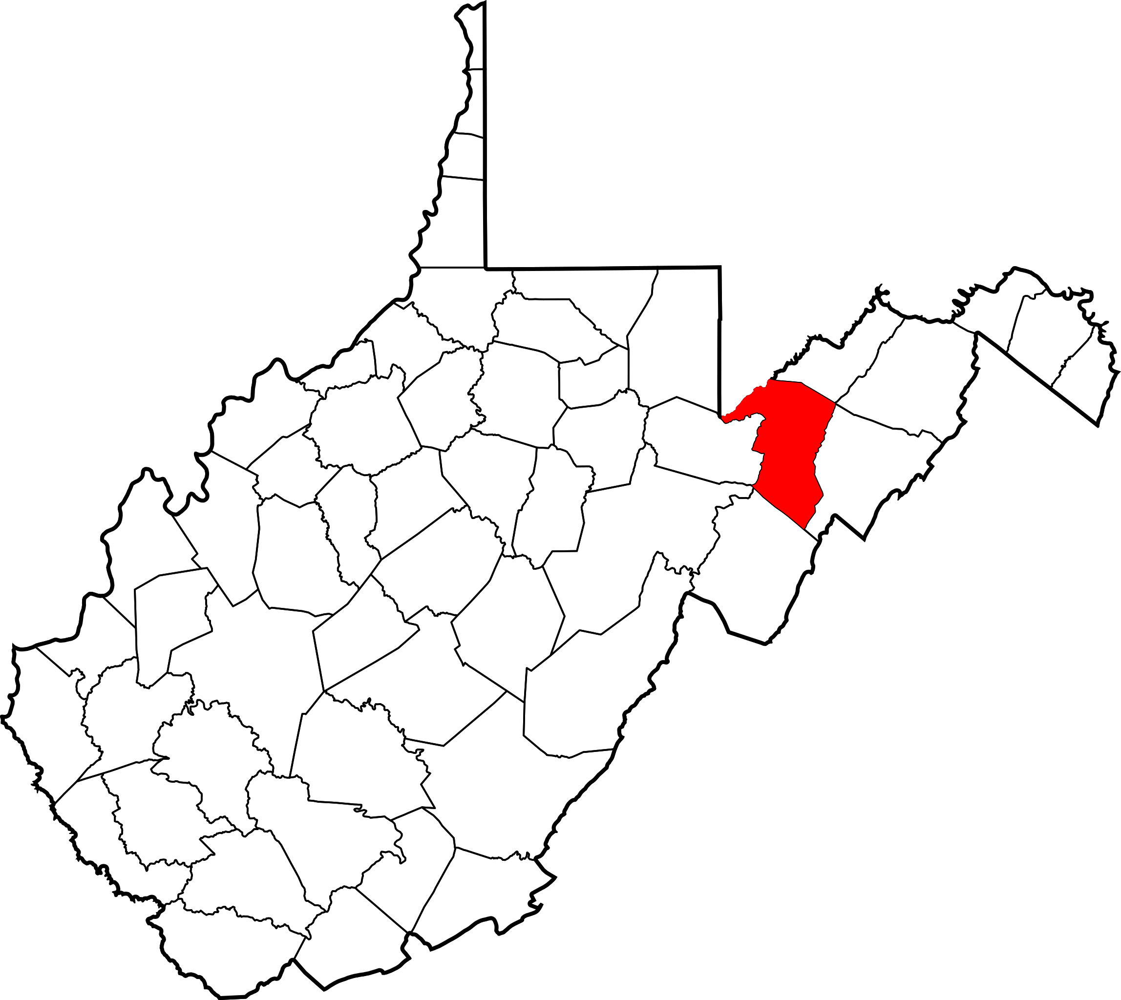
English: This is a locator map showing Grant County in West Virginia. For more information, see Commons:United States county locator maps. |
| Dedhyans | |
| Pennfenten |
Ober honan: English: The maps use data from nationalatlas.gov, specifically countyp020.tar.gz on the Raw Data Download page. The maps also use state outline data from statesp020.tar.gz. The Florida maps use hydrogm020.tar.gz to display Lake Okeechobee. |
| Awtour | David Benbennick |
Leshyans
| I, the copyright holder of this work, release this work into the public domain. This applies worldwide. In some countries this may not be legally possible; if so: I grant anyone the right to use this work for any purpose, without any conditions, unless such conditions are required by law. |
Istori an restren
Klyckyewgh war dhedhyans/eur rag gweles an folen dell o an termyn na.
| Dedhyans/Eur | Skeusennik | Mynsow | Devnydhyer | Kampol | |
|---|---|---|---|---|---|
| a-lemmyn | 18:08, 12 Hwevrer 2006 | | 4,270 × 3,810 (110 KB) | David Benbennick | {{subst:User:Dbenbenn/clm|county=Grant County|state=West Virginia|type=county}} |
Devnydh an restren
Yma an folen a syw owth usya an restren ma:
Devnydh ollvysel an restren
Yma an wikis erel a syw ow tevnydhya an restren ma:
- Devnydh war ar.wikipedia.org
- Devnydh war bg.wikipedia.org
- Devnydh war bpy.wikipedia.org
- Devnydh war cdo.wikipedia.org
- Devnydh war ceb.wikipedia.org
- Devnydh war ce.wikipedia.org
- Devnydh war cy.wikipedia.org
- Devnydh war de.wikipedia.org
- Devnydh war en.wikipedia.org
- List of counties in West Virginia
- Grant County, West Virginia
- Bayard, West Virginia
- Petersburg, West Virginia
- Fairfax, West Virginia
- Gormania, West Virginia
- Arthur, West Virginia
- Bismarck, West Virginia
- Cabins, West Virginia
- Dobbin, West Virginia
- Dorcas, West Virginia
- Forman, West Virginia
- Greenland, West Virginia
- Henry, West Virginia
- Hopeville, West Virginia
- Lahmansville, West Virginia
- Maysville, West Virginia
- Medley, West Virginia
- Mount Storm, West Virginia
- Scherr, West Virginia
- Williamsport, West Virginia
- Wilsonia, West Virginia
- Template:Grant County, West Virginia
- Old Arthur, West Virginia
- User:Nyttend/County templates/WV
- User:WVnativeson/sandbox14
- Seymourville, West Virginia
- National Register of Historic Places listings in Grant County, West Virginia
- Category:Populated places in Grant County, West Virginia
- Wilson, Maryland and West Virginia
- Landes, West Virginia
- Pansy, West Virginia
- Falls, West Virginia
- Hiser, West Virginia
- Seemly, West Virginia
- Streby, West Virginia
- Rough Run, West Virginia
- Jordan Run, West Virginia
Gweles devnydh ollvysel moy a'n restren ma.