
Restren:Järva maakond.svg

Size of this PNG preview of this SVG file: 800 × 576 piksel. Klerderyow erel: 320 × 230 piksel | 640 × 460 piksel | 1,024 × 737 piksel | 1,280 × 921 piksel | 2,560 × 1,842 piksel | 884 × 636 piksel.
Restren wreydhek (Restren SVG, 884 × 636 piksel yn hanow, myns an restren: 450 KB)
| Restren dhyworth Wikimedia Commons yw hebma. Yma diskwedhys a-woles derivadow dhyworth y folen deskrifans ena. | Mos dhe folen an restren war Wikimedia Commons |
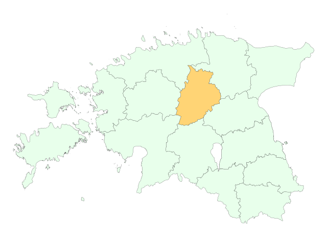
Location of Järva county

|
This map uses administrative map from Estonian Land Board (1.2006) as its data source. Reproduction is authorised, provided the data source is acknowledged and validity date is provided.
Eesti: Andmete kasutamisel tuleb viitena ära märkida andmeallikana Maa-amet ning viidata andmete seisule.
|
Istori an restren
Klyckyewgh war dhedhyans/eur rag gweles an folen dell o an termyn na.
| Dedhyans/Eur | Skeusennik | Mynsow | Devnydhyer | Kampol | |
|---|---|---|---|---|---|
| a-lemmyn | 19:36, 25 Me 2006 | | 884 × 636 (450 KB) | Wkentaur | Location of Järva county {{EST-Land Board|1.2006}} Category:Location maps of Estonian counties |
Devnydh an restren
Yma an folen a syw owth usya an restren ma:
Devnydh ollvysel an restren
Yma an wikis erel a syw ow tevnydhya an restren ma:
- Devnydh war fi.wikinews.org
- Devnydh war hr.wikipedia.org
- Devnydh war ko.wikipedia.org
- Devnydh war nn.wikipedia.org
- Devnydh war pt.wikipedia.org
- Devnydh war vo.wikipedia.org