
Restren:Contorno do mapa do Brasil.svg

Size of this PNG preview of this SVG file: 345 × 345 piksel. Klerderyow erel: 240 × 240 piksel | 480 × 480 piksel | 768 × 768 piksel | 1,024 × 1,024 piksel | 2,048 × 2,048 piksel.
Restren wreydhek (Restren SVG, 345 × 345 piksel yn hanow, myns an restren: 8 KB)
| Restren dhyworth Wikimedia Commons yw hebma. Yma diskwedhys a-woles derivadow dhyworth y folen deskrifans ena. | Mos dhe folen an restren war Wikimedia Commons |
Berrskrif
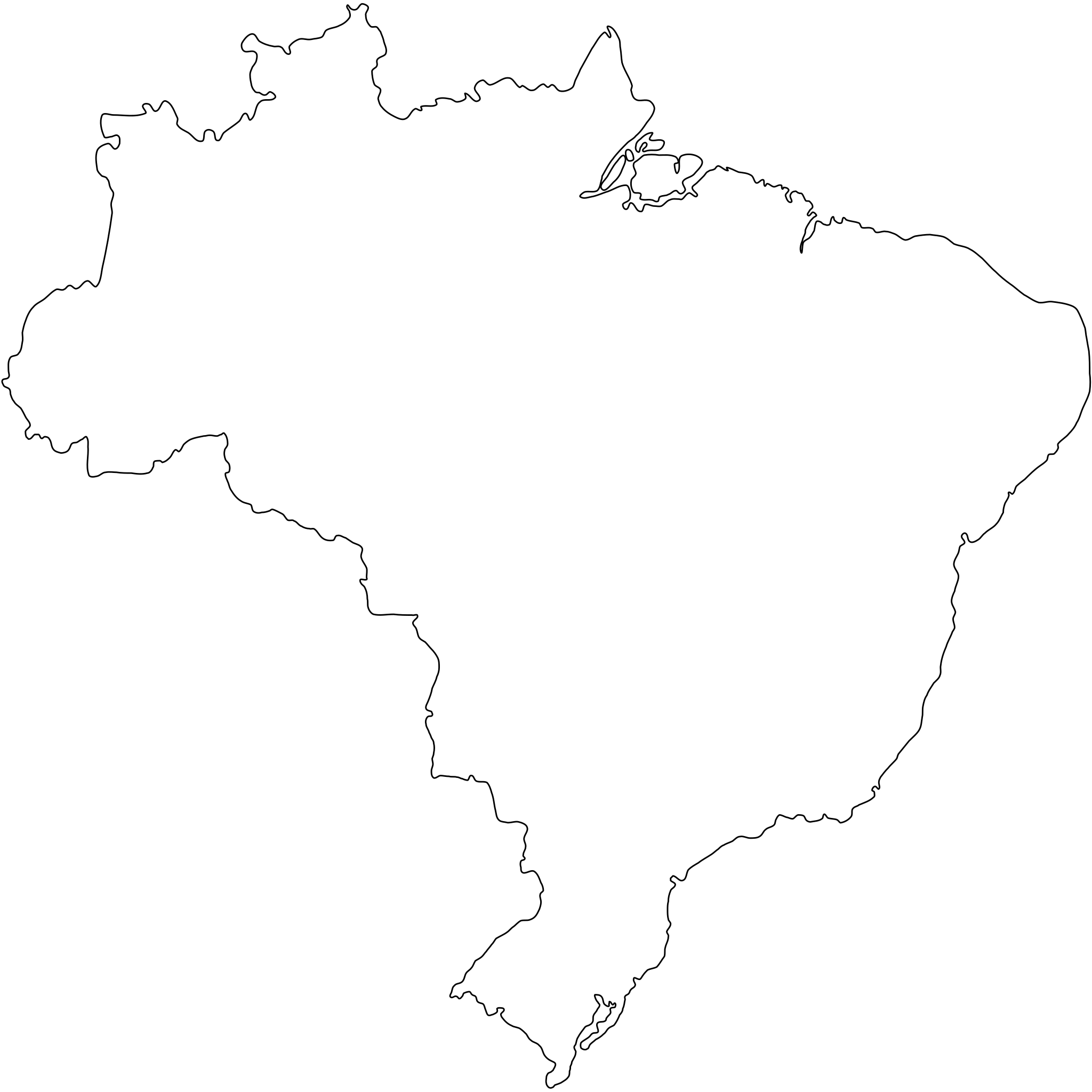
Português: Contorno do mapa do Brasil com detalhamento de nível médio e suavizado, não oficial e não exato porque foi desenhado por mim a olho nu. Inicialmente foi especialmente desenhado para a bandeira do Estado de São Paulo (ver Image:Bandeira do estado de São Paulo.svg).
A map drawn (maybe with CorelDRAW!® or Inkscape) by FML.
|

|
I, the copyright holder of this work, hereby publish it under the following license:
This file is licensed under the Creative Commons Attribution-Share Alike 2.5 Generic license.
- Yma'n gwir dhywgh:
- a ranna – a dhasskrifa, lesranna ha treuskorra an ober
- a gemyska – a aswiwa an ober
- Yn-dann an ragselyow a syw:
- askrifans – Res yw dhywgh ri askrifans gwiw, provia kevren dhe'n lecyans, ha meneges mar peu chanjyow gwrys. Hwi a yll gul hemma yn fordh resonus a vynnowgh, mes ny yllir y wul yn fordh a broffo synser an lecyans dh'agas skoodhya po agas devnydh.
- ranna kehaval – Mar kwrewgh hwi chanjya, treusfurvya po drehevel war an ober ma, res yw dhywgh lesranna agas kevrohow yn-dann an keth lecyans hag an derowel, po lecyans kesplegadow.
Istori an restren
Klyckyewgh war dhedhyans/eur rag gweles an folen dell o an termyn na.
| Dedhyans/Eur | Skeusennik | Mynsow | Devnydhyer | Kampol | |
|---|---|---|---|---|---|
| a-lemmyn | 18:30, 18 Gwynngala 2011 | | 345 × 345 (8 KB) | Giro720 | Map concentric to an (imaginary) circle with r=755 centered at the origin. |
| 07:56, 10 Est 2011 |  | 347 × 345 (8 KB) | OAlexander~commonswiki | Better optimisation, eliminated minor error on right edge. (Upped wrong version previously) | |
| 07:52, 10 Est 2011 |  | 512 × 510 (20 KB) | OAlexander~commonswiki | Better optimisation, eliminated minor error on right edge. | |
| 07:48, 10 Est 2011 |  | 512 × 510 (20 KB) | OAlexander~commonswiki | Repair (did not display in Firefox and Safari) and optimization. | |
| 11:26, 20 Hwevrer 2006 |  | 526 × 524 (82 KB) | FML | ||
| 01:41, 30 Genver 2006 |  | 526 × 524 (82 KB) | FML | ||
| 01:33, 30 Genver 2006 |  | 526 × 524 (143 KB) | FML | {{pt|Contorno do mapa do Brasil com detalhamento de nível médio e suavizado, '''não oficial''' e '''não exato''' porque foi desenhado por mim a olho nu. Inicialmente foi especialmente desenhado para a bandeira do Estado de São Paulo (ver [ |
Devnydh an restren
Nyns eus folen vyth owth usya an restren ma.
Devnydh ollvysel an restren
Yma an wikis erel a syw ow tevnydhya an restren ma:
- Devnydh war pt.wikipedia.org